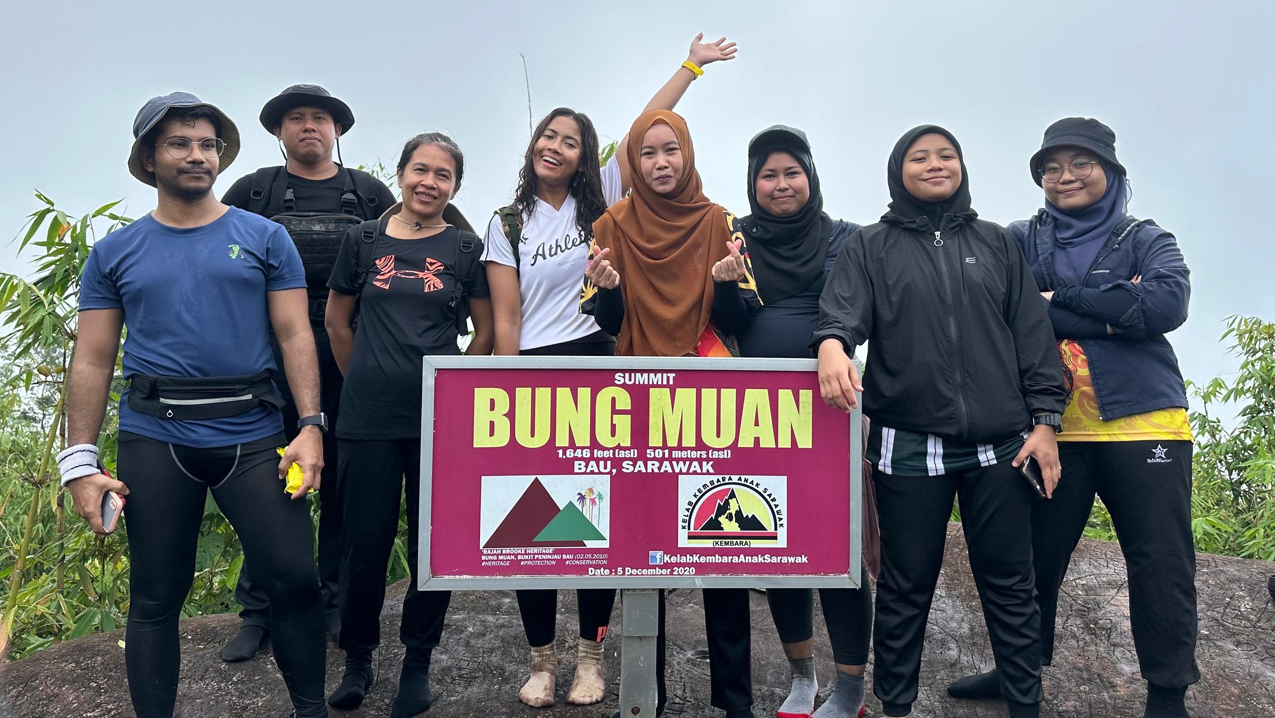
Experience the Majestic Bung Muan
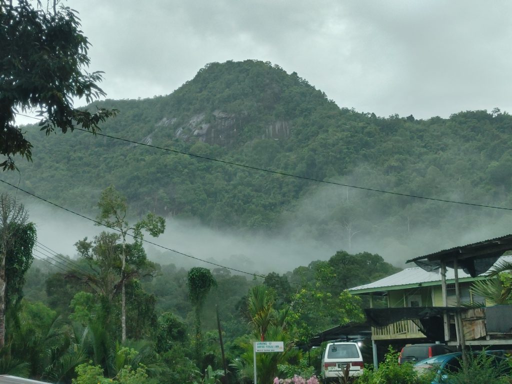
Looking for a stunning panoramic view of rocky landscapes and a strong cold breeze almost as if being in Cameron Highlands? Then take a challenging hike to reach the mountain peak of Bung Muan, with its summit standing at 1,646 feet above sea level. Known also as Gunung Serumbu or Rajah Brooke Heritage Site in Bau, this granite mountain covered in secondary jungle offers a rigorous workout that will get your muscles moving and make you break a good sweat.
The Journey to the Summit
Trail Details and Challenges
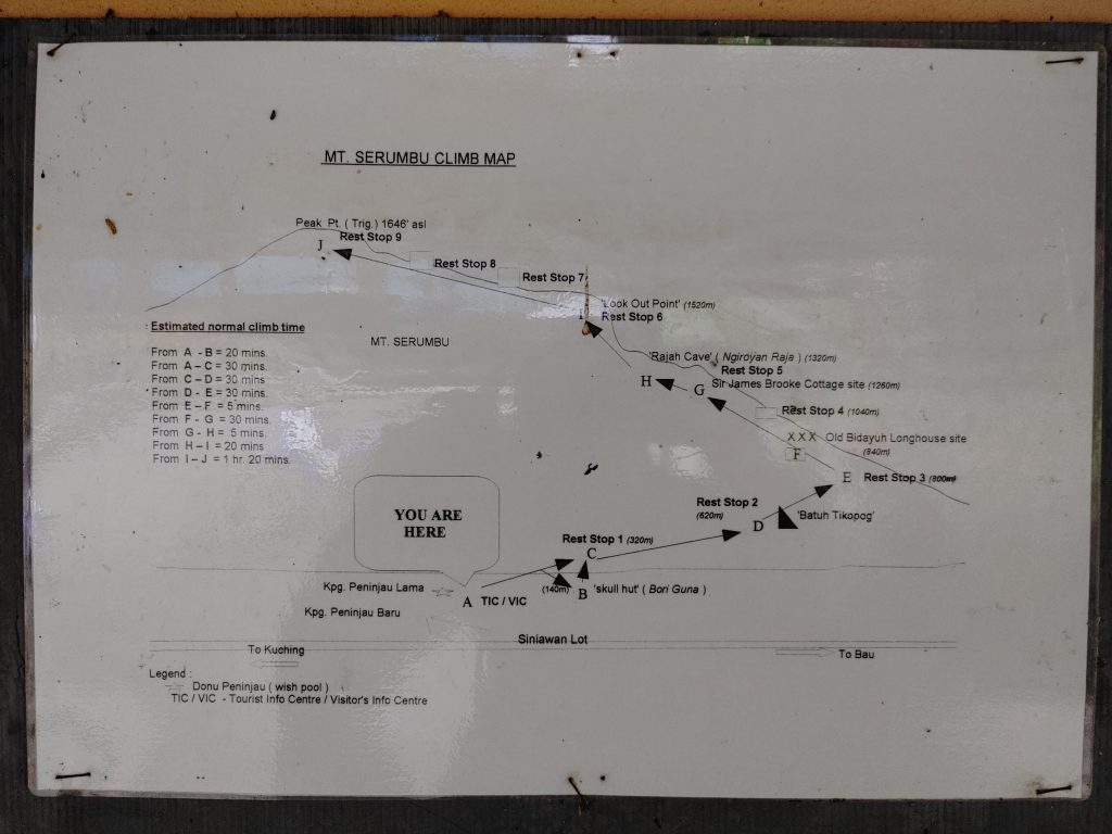
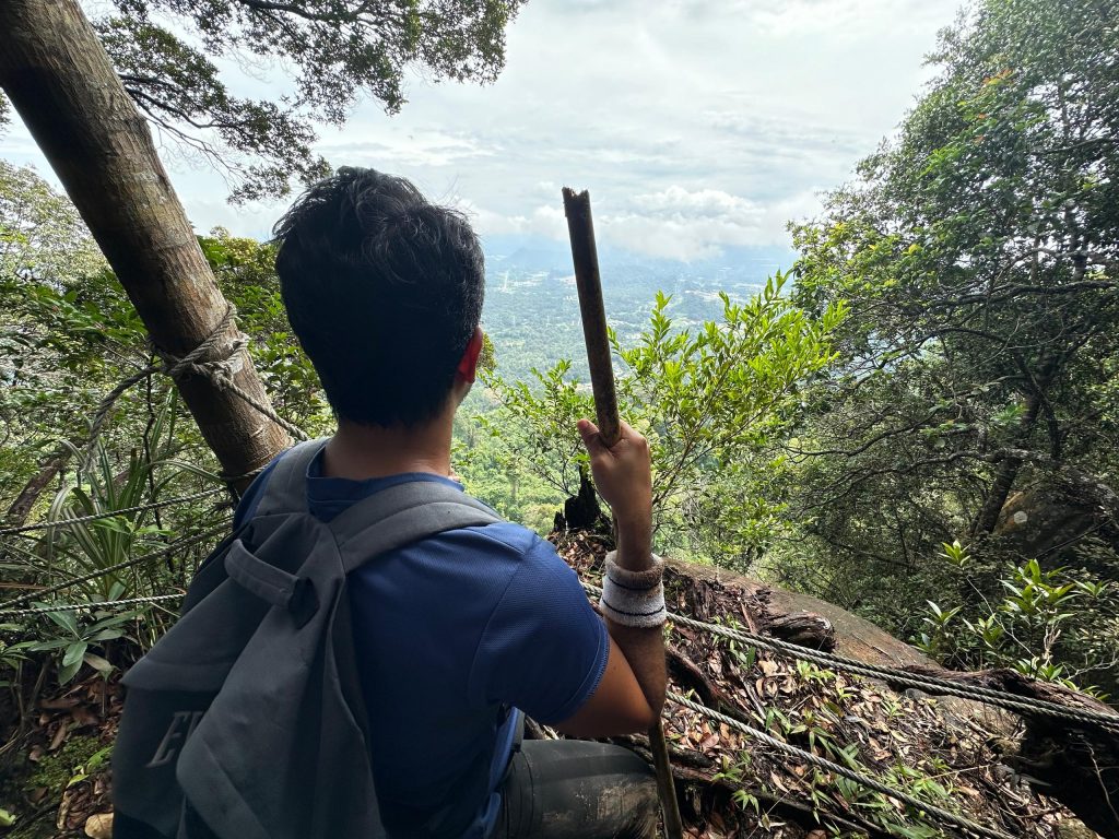
The trails of Bung Muan are quite challenging with technical routes, starting with slippery rocks, steep hills, and giant boulders. Notable sites along the way include the historic Rajah Brooke cottage (1848-1850) and a huge boulder resembling a cave with a shelter built underneath for a short rest. The steep and moss-covered trail can become very slippery if it rains, so hikers need to be very careful. Rope rails are available along some tricky stretches to aid climbers.
Scenic Views and Pit Stops
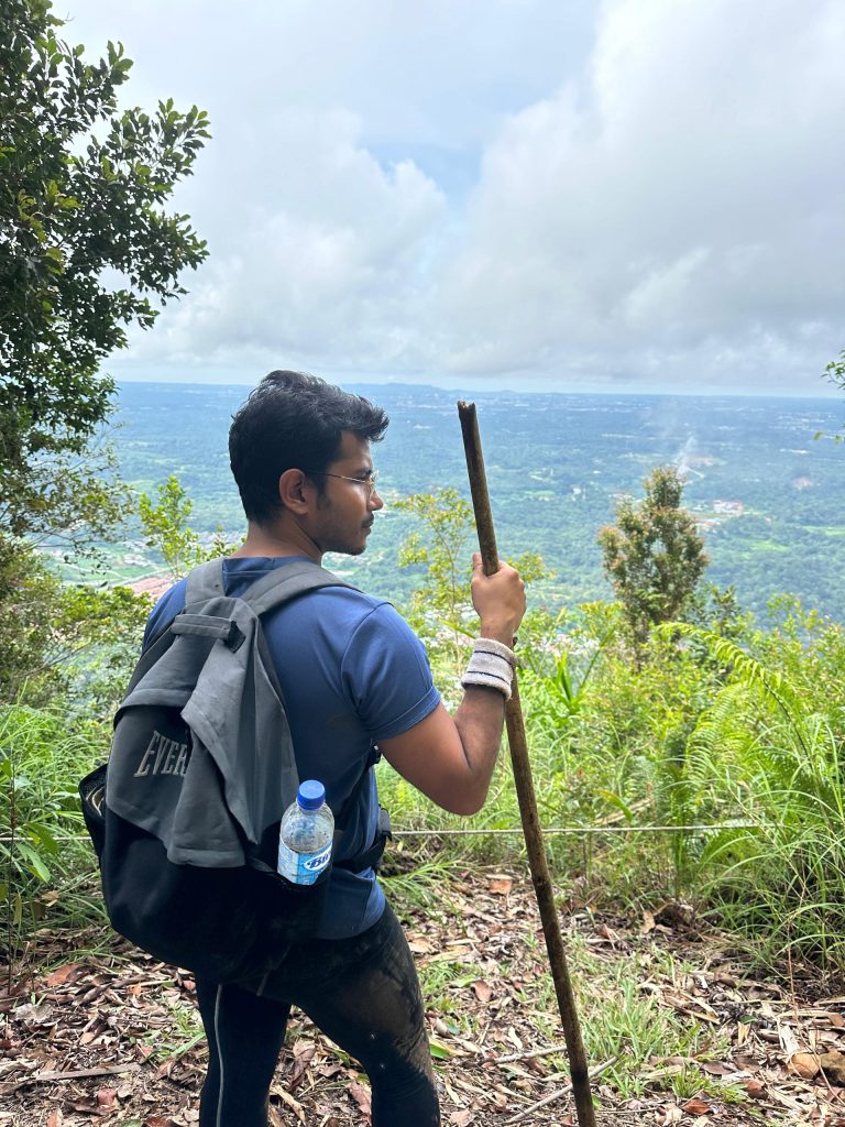
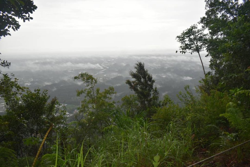
Upon reaching the second viewpoint before the summit, hikers are greeted with an aerial view of beautiful nature and landscape along a steep incline, with views of the flatland below. It takes about three hours to reach the summit, including several short pit stops for breathers. The final obstacle involves climbing huge boulders to get to the top.
At the Summit: A Journey Back in Time
Historical Significance
Imagine being transported back in time with Sir James Brooke! The summit of Bung Muan is historically significant as it was frequented by the first Rajah, James Brooke. It is also known as the Wallace Trail, named after the renowned scientist Alfred Russel Wallace, who conducted his study on biodiversity and spent considerable time here.
A Serene Experience
As hikers rest at the summit, the strong wind and mist over their bodies give a feeling reminiscent of Cameron Highlands. The serene beauty and peaceful environment make it hard to leave. After about an hour at the summit, gloomy clouds began to appear, prompting a quick descent as the weather turned grey.
The Descent: An Adventurous Return
Navigating Through Rain
The journey down to the foothill became more adventurous as hikers had to trek under heavy rain. Halfway down, they took shelter at the same huge boulder for about 15 minutes, waiting for the rain to cease. Despite the challenging conditions, the relatively quiet environment of Bung Muan, with no other groups or people around, made the experience even more enjoyable.
Essential Tips for Hikers
Hikers should come prepared with proper shoes, enough water, snacks, basic first aid, and be in good physical condition. Located at Kampung Peninjau Lama in Siniawan, some 25km from Kuching city along the old Kuching-Bau road, Bung Muan is one of the most accessible yet less well-known hiking trails that offer breathtaking views and a challenging climb.
Bung Muan: A Hidden Gem
Community and Accessibility
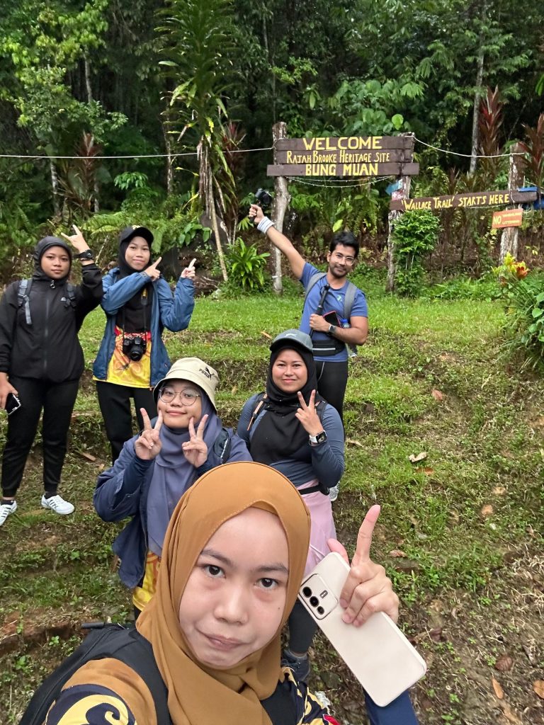
Bung Muan is home to about 17 Bidayuh villages with a population of around 10,000, scattered at the foot of the mountain over an area of about 2,500 hectares. The entry point is from Kampung Peninjau Lama, with a signboard at the foothill marking the entrance. Visitors need to pay an entrance fee of RM5 per person and can park their vehicles outside the community hall. Local villagers greet and brief visitors before starting the hike.
Final Thoughts
Despite its obscured entrance and lesser-known status, Bung Muan offers an unparalleled hiking experience with its natural jungle trail, historical significance, and serene beauty. It is a must-visit for adventure seekers and nature lovers looking to conquer new heights and enjoy the peaceful surroundings.


